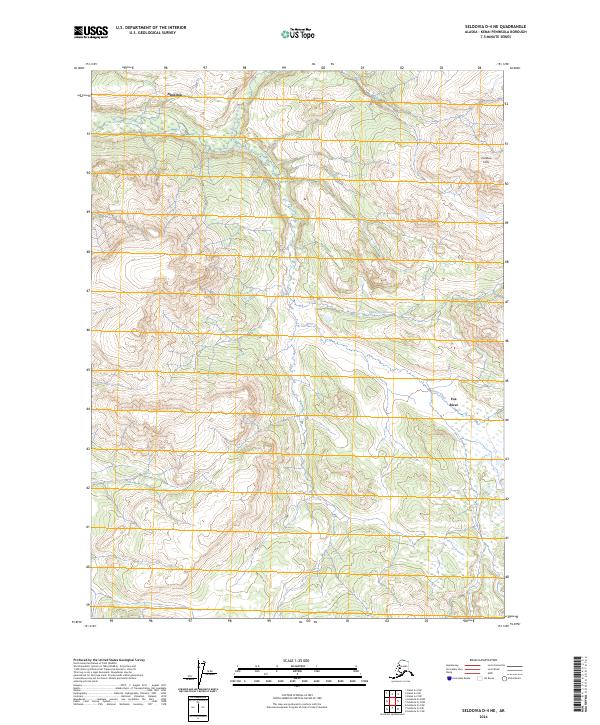
2024 Map of Seldovia D-4 NE
USGS Topo · Published 2024About this map
Ninilchik dominates the northwestern terrain of this Kenai Peninsula map, characterized by the high elevations of the Caribou Hills. The landscape is defined by its complex drainage systems, where the North Fork Deep Creek and Deep Creek carve through the upland plateaus. These waterways, along with the smaller Cytex Creek, illustrate the hydrologic pattern of the central peninsula before the descent toward the coast. To the southeast, the terrain transitions toward the headwaters of the Fox River, showing the topographical divide between the creek systems and the river valley. The map provides a precise look at the land division and elevation contours of this largely uninhabited portion of the borough, making it a critical tool for understanding the natural geography of the region.
Find a feature on this map
10 named features on this map. Tap any name to fly to it.
Don’t see what you’re looking for? This feature index may not catch every label — zoom into the map to look around manually.
Map Details
Editions of this 2024 Seldovia D-4 NE Map
This is the sole edition of this map. No revisions or reprints were ever made.
Other maps of this area

1944 · Kenai
USGS Topo · 1:250,000

1949 · Seldovia D-4
USGS Topo · 1:63,360

1950 · Kenai
USGS Topo · 1:250,000

1951 · Seldovia D-4
USGS Topo · 1:63,360

1951 · Seldovia
USGS Topo · 1:250,000

1951 · Seldovia D-3
USGS Topo · 1:63,360

1951 · Kenai A-3
USGS Topo · 1:63,360

1951 · Kenai A-4
USGS Topo · 1:63,360

1952 · Kenai A-3
USGS Topo · 1:63,360

1952 · Kenai A-4
USGS Topo · 1:63,360