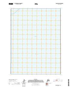
2020 Map of Seldovia D-8 SE
USGS Topo · Published 2020About this map
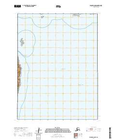
Cook Inlet and the Pacific Ocean dominate this open maritime expanse within the Kenai Peninsula region. The survey highlights the intersection of massive water bodies where the coastal waters of the inlet meet the open ocean, a critical geographic juncture for Alaskan navigation. While the sheet is primarily aquatic, it includes the legal surveying framework for the area, marking sections within T3s R20w and T3s R21w. These township and range boundaries provide the only terrestrial reference points in a landscape defined by its marine environment, documenting the maritime territory as it was managed by the U.S. Geological Survey in the early twenty-first century.
Find a feature on this map
10 named features on this map. Tap any name to fly to it.
Don’t see what you’re looking for? This feature index may not catch every label — zoom into the map to look around manually.
Map Details
Editions of this 2020 Seldovia D-8 SE Map
This is the sole edition of this map. No revisions or reprints were ever made.