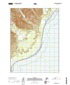
2020 Map of Seldovia D-8 NE
USGS Topo · Published 2020About this map
Lake Clark National Park dominates this coastal landscape where the Aleutian Range meets the waters of the Cook Inlet. The map highlights a dynamic transition from the high peaks of Saddle Mtn and Lenore Hill down to the alluvial fans and wetlands of the Red River delta. Along the shoreline, distinct coastal features such as Harriet Lagoon, Shelter Cove, and Spring Point mark the boundary between the peninsula and the open Pacific Ocean. The presence of the Silver Salmon Lakes in the northern reaches suggests the complex hydrology common to this wilderness area, where freshwater systems are tightly integrated with the tidal influence of the inlet. This survey provides an essential look at the protected topography and natural drainage patterns within the national park boundaries, reflecting the remote and preserved state of the western Kenai Peninsula coast in the early 21st century.
Find a feature on this map
15 named features on this map. Tap any name to fly to it.
Don’t see what you’re looking for? This feature index may not catch every label — zoom into the map to look around manually.
Map Details
Editions of this 2020 Seldovia D-8 NE Map
This is the sole edition of this map. No revisions or reprints were ever made.
Other maps of this area

1944 · Kenai
USGS Topo · 1:250,000

1950 · Kenai
USGS Topo · 1:250,000

1951 · Seldovia
USGS Topo · 1:250,000
1958 · Seldovia D-8
USGS Topo · 1:63,360
1958 · Kenai A-8
USGS Topo · 1:63,360
1958 · Kenai A-7
USGS Topo · 1:63,360

1958 · Kenai
USGS Topo · 1:250,000

1963 · Seldovia
USGS Topo · 1:250,000
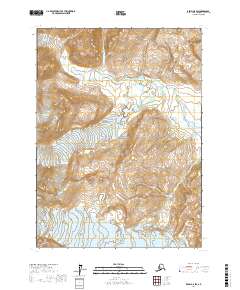
2017 · Kenai A-8 SW
USGS Topo · 1:25,000
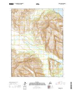
2017 · Kenai A-8 SE
USGS Topo · 1:25,000