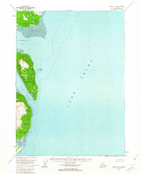
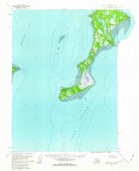
1958 Map of Kenai A-7
USGS Topo · Published 1963About this map
Chisik Island dominates this mid-century coastal survey, situated within the protected waters of the Tuxedni National Wildlife Refuge along the western shore of Cook Inlet. The map reveals a remote maritime economy centered on Snug Harbor, where a Cannery stands as a focal point of industrial activity on the island's southeastern coast. To the north, the Crescent River empties into the inlet near expansive Tidal Flats, while the narrow Tuxedni Channel separates the island from the mainland wilderness. Sparse human footprints are noted by isolated Cabins and geographical markers like Iliamna Pt. This topographic study, compiled from aerial photographs and hydrographic charts, provides a window into the navigation and resource-based settlements of the Tuxedni Bay region during the late 1950s.
Find a feature on this map
12 named features on this map. Tap any name to fly to it.
Don’t see what you’re looking for? This feature index may not catch every label — zoom into the map to look around manually.
Map Details
Editions of this 1958 Kenai A-7 Map
2 editions found
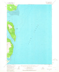
Other maps of this area

1944 · Kenai
USGS Topo · 1:250,000

1950 · Kenai
USGS Topo · 1:250,000

1951 · Seldovia
USGS Topo · 1:250,000
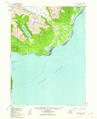
1958 · Seldovia D-8
USGS Topo · 1:63,360
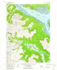
1958 · Kenai A-8
USGS Topo · 1:63,360

1958 · Kenai B-7
USGS Topo · 1:63,360

1958 · Kenai B-8
USGS Topo · 1:63,360
1958 · Kenai B-6
USGS Topo · 1:63,360

1958 · Kenai
USGS Topo · 1:250,000

1963 · Seldovia
USGS Topo · 1:250,000