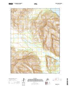
2017 Map of Kenai A-8 SE
USGS Topo · Published 2017About this map
Lake Clark National Park dominates this coastal landscape, where the peaks of the Aleutian Range meet the northern waters of the Gulf of Alaska. The terrain is defined by dramatic elevation changes, rising from the tidal flats of the Tuxedni Channel to high landmarks like Triangle Peak, Slope Mtn, and August Hill. The Johnson River and its intricate network of tributaries, including Bear Cr and Red Cr, carve through the glacial valleys to reach the coast. The southern edge of the map features the Silver Salmon Lakes, a distinctive hydrological system tucked behind the shoreline. This 2017 survey illustrates the intersection of maritime influence and alpine wilderness in a region where natural drainage patterns and topographical relief dictate the character of the land.
Find a feature on this map
15 named features on this map. Tap any name to fly to it.
Don’t see what you’re looking for? This feature index may not catch every label — zoom into the map to look around manually.
Map Details
Editions of this 2017 Kenai A-8 SE Map
This is the sole edition of this map. No revisions or reprints were ever made.
Other maps of this area

1944 · Kenai
USGS Topo · 1:250,000

1950 · Kenai
USGS Topo · 1:250,000

1951 · Seldovia
USGS Topo · 1:250,000
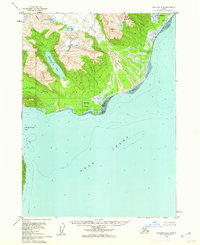
1958 · Seldovia D-8
USGS Topo · 1:63,360
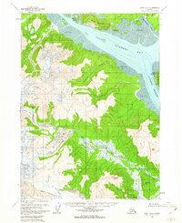
1958 · Kenai A-8
USGS Topo · 1:63,360
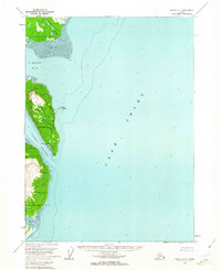
1958 · Kenai A-7
USGS Topo · 1:63,360

1958 · Kenai
USGS Topo · 1:250,000

1963 · Seldovia
USGS Topo · 1:250,000
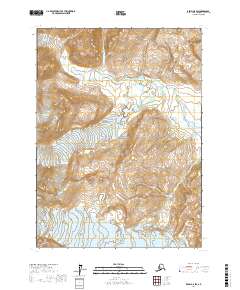
2017 · Kenai A-8 SW
USGS Topo · 1:25,000
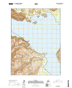
2017 · Kenai A-8 NE
USGS Topo · 1:25,000