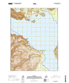
2017 Map of Kenai A-8 NE
USGS Topo · Published 2017About this map
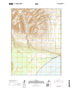
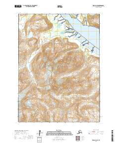
Lake Clark National Park and the Alaska Maritime National Wildlife Refuge converge at the shores of Tuxedni Bay, where the glacial influence on the terrain is evident in the steep coastal topography. The map illustrates a landscape shaped by dynamic coastal processes, featuring prominent landmarks like Fossil Point and the steep slopes of Rusty Mtn. Navigation through the Tuxedni Channel provides access to the sheltered waters of Snug Harbor and Squarehead Cove. The drainage patterns of the region are defined by systems such as Hungryman Creek and Difficult Cr, which flow from the high interior peaks toward the Cook Inlet waters. This survey captures a transitional coastal environment where protected wilderness boundaries meet the silt-heavy deltas of the Tuxedni River, providing a clear view of the interface between upland glaciers and maritime ecosystems.
Find a feature on this map
21 named features on this map. Tap any name to fly to it.
Don’t see what you’re looking for? This feature index may not catch every label — zoom into the map to look around manually.
Map Details
Editions of this 2017 Kenai A-8 NE Map
This is the sole edition of this map. No revisions or reprints were ever made.
Other maps of this area

1944 · Kenai
USGS Topo · 1:250,000

1950 · Kenai
USGS Topo · 1:250,000
1958 · Kenai A-8
USGS Topo · 1:63,360
1958 · Kenai A-7
USGS Topo · 1:63,360

1958 · Kenai B-7
USGS Topo · 1:63,360

1958 · Kenai B-8
USGS Topo · 1:63,360

1958 · Kenai
USGS Topo · 1:250,000
2017 · Kenai A-8 SW
USGS Topo · 1:25,000
2017 · Kenai B-7 SW
USGS Topo · 1:25,000
2017 · Kenai A-8 NW
USGS Topo · 1:25,000