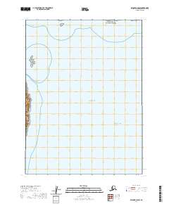
2020 Map of Seldovia D-8 SW
USGS Topo · Published 2020About this map
Cook Inlet dominates this coastal survey, where the waters of the Pacific Ocean meet the eastern shoreline of the Iniskin Peninsula. This maritime landscape is defined by its significant conservation boundaries, including a portion of Lake Clark National Park in the northeast and the Alaska Maritime National Wildlife Refuge protecting Gull Island. The map illustrates the meeting point of federal wilderness protections and open water, providing a clear record of the jurisdictional boundaries and coastal topography of the western side of the inlet. The absence of roads or established settlements highlights the primary character of this region as a protected natural corridor where marine life and tectonic geography take precedence over human development.
Find a feature on this map
10 named features on this map. Tap any name to fly to it.
Don’t see what you’re looking for? This feature index may not catch every label — zoom into the map to look around manually.
Map Details
Editions of this 2020 Seldovia D-8 SW Map
This is the sole edition of this map. No revisions or reprints were ever made.
Other maps of this area

1949 · Iliamna C-1
USGS Topo · 1:63,360

1951 · Seldovia
USGS Topo · 1:250,000

1952 · Iliamna
USGS Topo · 1:250,000

1957 · Iliamna
USGS Topo · 1:250,000

1958 · Iliamna D-1
USGS Topo · 1:63,360

1958 · Iliamna C-1
USGS Topo · 1:63,360
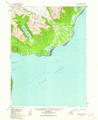
1958 · Seldovia D-8
USGS Topo · 1:63,360

1963 · Seldovia
USGS Topo · 1:250,000
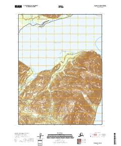
2018 · Iliamna D-1 SE
USGS Topo · 1:25,000
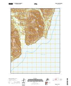
2018 · Iliamna C-1 NE
USGS Topo · 1:25,000