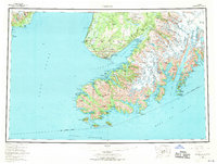
1963 Map of Seldovia
USGS Topo · Published 1970About this map
Seldovia serves as the focal point for the southern Kenai Peninsula in this mid-century survey, which reveals a maritime landscape defined by isolated coastal outposts and immense glacial systems. The topography transitions from the massive Harding Icefield and its numerous outlets, such as Tustumena Glacier, down to the intricate shorelines of Kachemak Bay. Notable settlements of the era include Homer and the distinctive Homer Spit, along with smaller communities like Anchor Point and Happy Valley along the western coast. The map provides a detailed look at indigenous and industrial sites, including Indian Village near Seldovia Bay and the mining-related label at Chrome. To the north, the Kenai National Moose Range occupies the interior, while to the south, the Kenai Peninsula Borough boundary stretches across the Kennedy Entrance toward the Gulf of Alaska.
Find a feature on this map
165 named features on this map. Tap any name to fly to it.
Don’t see what you’re looking for? This feature index may not catch every label — zoom into the map to look around manually.
Map Details
Editions of this 1963 Seldovia Map
5 editions found

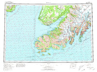
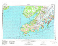
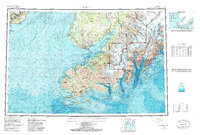
Other maps of this area

1944 · Kenai
USGS Topo · 1:250,000

1946 · Blying Sound
USGS Topo · 1:250,000

1946 · Lake Clark
USGS Topo · 1:250,000

1946 · Seldovia C-5
USGS Topo · 1:63,360

1946 · Seldovia D-5
USGS Topo · 1:63,360

1948 · Seldovia C-4
USGS Topo · 1:63,360

1949 · Iliamna C-1
USGS Topo · 1:63,360

1949 · Seldovia C-4
USGS Topo · 1:62,500

1949 · Seldovia D-4
USGS Topo · 1:63,360

1950 · Kenai
USGS Topo · 1:250,000