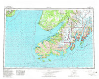
1963 Map of Seldovia
USGS Topo · Published 1982About this map
The Kachemak Bay State Park and surrounding wilderness of the Kenai Peninsula are documented here during a period of significant conservation and coastal development. The fishing communities of Seldovia and Homer serve as the primary hubs, with the latter's notable Coal Point extending into the bay. To the north, the Sterling Highway connects smaller settlements like Happy Valley, Stariski, and the Russian Orthodox community of Nikolaevsk. Along the southwestern coast, remote outposts including Port Graham, English Bay, and the site of Portlock reflect the area's maritime reliance. This map also details the massive ice fields of the east, showing the extent of the McCarty Glacier, Chernof Glacier, and Dinglestadt Glacier before late-century shifts. Features like the Kachemak Silo and several gaging stations provide evidence of local industry and resource management within the Kenai National Wildlife Refuge.
Find a feature on this map
121 named features on this map. Tap any name to fly to it.
Don’t see what you’re looking for? This feature index may not catch every label — zoom into the map to look around manually.
Map Details
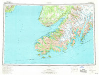
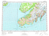
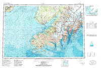
Editions of this 1963 Seldovia Map
5 editions found

Other maps of this area

1944 · Kenai
USGS Topo · 1:250,000

1946 · Blying Sound
USGS Topo · 1:250,000

1946 · Lake Clark
USGS Topo · 1:250,000

1946 · Seldovia C-5
USGS Topo · 1:63,360

1946 · Seldovia D-5
USGS Topo · 1:63,360

1948 · Seldovia C-4
USGS Topo · 1:63,360

1949 · Iliamna C-1
USGS Topo · 1:63,360

1949 · Seldovia C-4
USGS Topo · 1:62,500

1949 · Seldovia D-4
USGS Topo · 1:63,360

1950 · Kenai
USGS Topo · 1:250,000