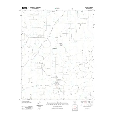
2012 Map of Seligman
USGS Topo · Published 2012About this map
Washburn and Seligman anchor this Barry County landscape, where the Ozark plateau is deeply carved by drainage systems like Flat Creek and Big Sugar Creek. The map reveals a dense network of local history preserved in its rural cemeteries, including the curiously named True Love Cemetery and the centrally located Washburn Prairie Cemetery. These burial sites, along with others such as King Cemetery and Corinth Cemetery, offer significant waypoints for genealogists tracing family footprints across the hills.
Find a feature on this map
84 named features on this map. Tap any name to fly to it.
Don’t see what you’re looking for? This feature index may not catch every label — zoom into the map to look around manually.
Map Details
Editions of this 2012 Seligman Map
This is the sole edition of this map. No revisions or reprints were ever made.
Other maps of this area

1899 · Fayetteville
USGS Topo · 1:125,000

1900 · Eureka Springs
USGS Topo · 1:125,000

1901 · Eureka Springs
USGS Topo · 1:125,000

1901 · Fayetteville
USGS Topo · 1:125,000

1904 · Fayetteville
USGS Topo · 1:125,000

1937 · Cassville
USGS Topo · 1:48,000

1941 · Rocky Comfort
USGS Topo · 1:62,500

1943 · Rocky Comfort
USGS Topo · 1:62,500

1944 · Cassville
USGS Topo · 1:62,500

1945 · Harrison
USGS Topo · 1:250,000