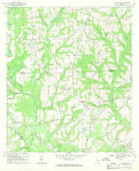
1968 Map of Sellersville
USGS Topo · Published 1971About this map
The Pea River carves a winding path through the western half of this landscape, its banks dotted with small clearings and rural crossings. In the late 1960s, the rural character of the border between Coffee County and Geneva County is defined by an intricate network of creeks like Tight Eye Creek and Holley Creek feeding into the river. A series of small community centers such as Sellersville, Piney Grove, and the edge of Samson are connected by local roads and the Louisville and Nashville railroad corridor, which skirts the southwestern corner. Family-named landmarks and local sites of worship, including Macedonia Ch, Mt Olive Ch, and Haney Cem, reveal the long-standing settlement patterns of these agricultural uplands. The terrain is marked by numerous small impoundments and wetlands, such as Sessions Pond and Lake Frankie, typical of the drainage basins in this part of Alabama.
Find a feature on this map
44 named features on this map. Tap any name to fly to it.
Don’t see what you’re looking for? This feature index may not catch every label — zoom into the map to look around manually.
Map Details
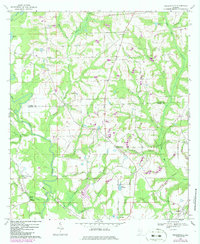
Editions of this 1968 Sellersville Map
2 editions found
Other maps of this area

1942 · Enterprise
USGS Topo · 1:125,000

1950 · Enterprise
USGS Topo · 1:62,500

1953 · Andalusia
USGS Topo · 1:250,000

1953 · Dothan
USGS Topo · 1:250,000

1954 · Dothan
USGS Topo · 1:250,000

1955 · Dothan
USGS Topo · 1:250,000

1957 · Andalusia
USGS Topo · 1:250,000

1957 · Geneva
USGS Topo · 1:62,500
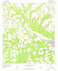
1957 · Geneva West
USGS Topo · 1:24,000
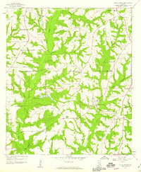
1957 · Coffee Springs
USGS Topo · 1:24,000