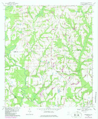
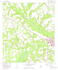
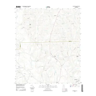
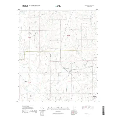
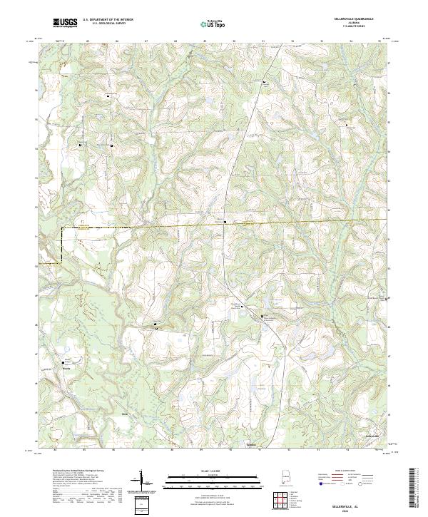
1968 Map of Sellersville
USGS Topo · Published 1986About this map
The Pea River carves a winding path through the borderlands of Coffee County and Geneva County in this detailed 1968 study. Along its banks, the landscape is defined by the Seaboard rail line and numerous agricultural water features like Faulk Millpond and Sessions Pond. The settlement of Samson occupies the southern reach, while smaller communities such as Sellersville and Weeks are connected by a network of rural roads and creek crossings.
Find a feature on this map
40 named features on this map. Tap any name to fly to it.
Don’t see what you’re looking for? This feature index may not catch every label — zoom into the map to look around manually.
Map Details
Editions of this 1968 Sellersville Map
2 editions found
Historical Maps of Samson Through Time
24 maps found
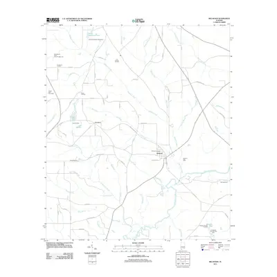
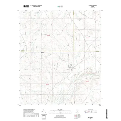
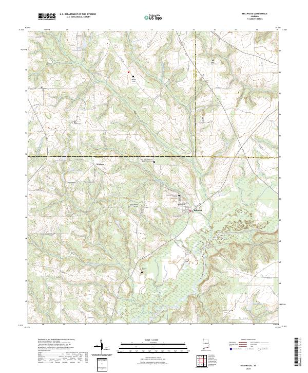
1957 Bellwood
Geneva County, AL
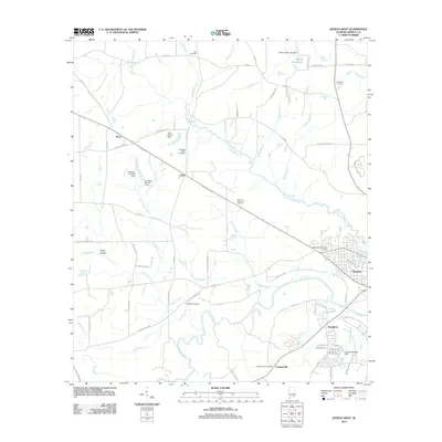
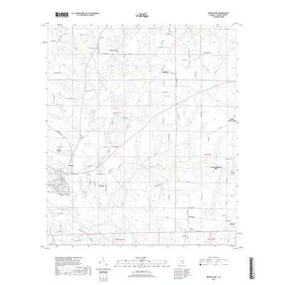
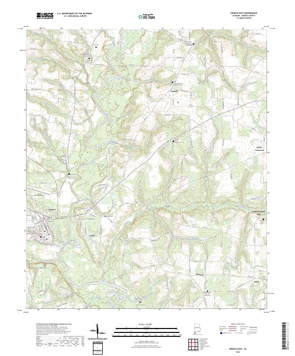
1957 Geneva East
Geneva County, AL
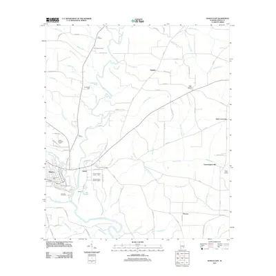
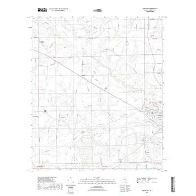
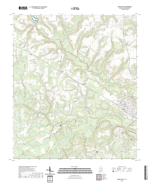
1957 Geneva West
Geneva County, AL
1968 Sellersville
Geneva County, AL
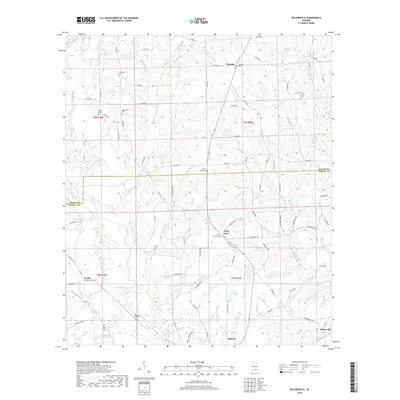
2011 Bellwood
Geneva County, AL
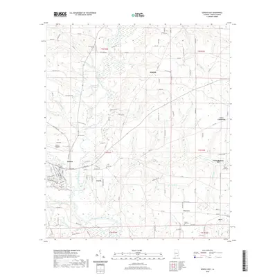
2011 Geneva East
Geneva County, AL
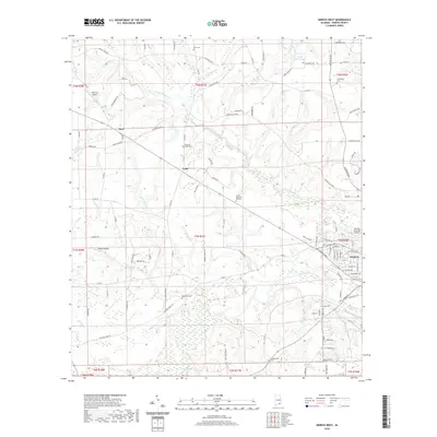
2011 Geneva West
Geneva County, AL
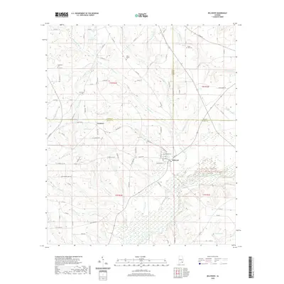
2011 Sellersville
Geneva County, AL
2014 Bellwood
Geneva County, AL
2014 Geneva East
Geneva County, AL
2014 Geneva West
Geneva County, AL
2014 Sellersville
Geneva County, AL
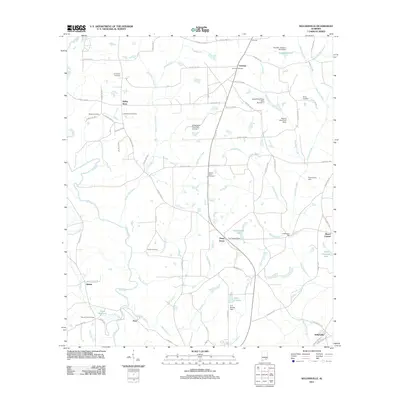
2018 Bellwood
Geneva County, AL
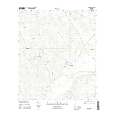
2018 Geneva East
Geneva County, AL
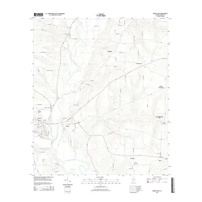
2018 Geneva West
Geneva County, AL
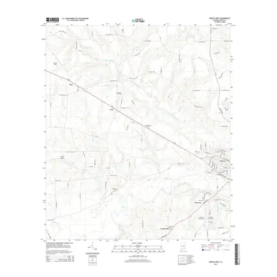
2018 Sellersville
Geneva County, AL
2020 Bellwood
Geneva County, AL
2020 Geneva East
Geneva County, AL
2020 Geneva West
Geneva County, AL
2020 Sellersville
Geneva County, AL
2024 Bellwood
Geneva County, AL
2024 Geneva East
Geneva County, AL
2024 Geneva West
Geneva County, AL
2024 Sellersville
Geneva County, AL