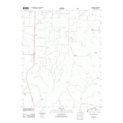
2012 Map of Selmore
USGS Topo · Published 2012About this map
Selmore and Shady Grove define the settled corridors of Christian County in this 2012 survey, where the suburban expansion from nearby Ozark meets the winding creek beds of the Ozark plateau. The landscape is deeply incised by drainages like Hog Creek and the West Fork Bull Creek, creating a network of ridges and hollows that have historically dictated road placement and settlement patterns. Local heritage is preserved in scattered burial grounds such as Adams Cemetery and King Cemetery, which sit alongside mid-century landmarks like the Skyview Airport. The map traces the transition from residential development along the SW Outer Road to the more isolated terrain of Peckout Hollow and Flyblow Hollow, illustrating how the region's topography continues to separate modern thoroughfares from the quiet, spring-fed valleys of Jackson Spring and Cash Spring.
Find a feature on this map
111 named features on this map. Tap any name to fly to it.
Don’t see what you’re looking for? This feature index may not catch every label — zoom into the map to look around manually.
Map Details
Editions of this 2012 Selmore Map
This is the sole edition of this map. No revisions or reprints were ever made.
Other maps of this area

1884 · Springfield
USGS Topo · 1:125,000

1886 · Springfield
USGS Topo · 1:125,000

1907 · Forsyth
USGS Topo · 1:125,000

1937 · Ozark
USGS Topo · 1:48,000

1943 · Ozark
USGS Topo · 1:62,500

1945 · Harrison
USGS Topo · 1:250,000

1945 · Ozark
USGS Topo · 1:62,500

1949 · Harrison
USGS Topo · 1:250,000

1954 · Harrison
USGS Topo · 1:250,000

1954 · Springfield
USGS Topo · 1:250,000