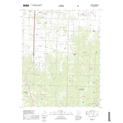
2017 Map of Selmore
USGS Topo · Published 2017About this map
The settlement of Selmore and the southern outskirts of Ozark anchor this Christian County landscape, where the plateau transitions into the complex drainage systems of the Ozarks. The terrain is defined by prominent ridges such as Green Mound Ridge and Logan Ridge, carved by the southward flow of Woods Fork and Bull Creek. This topography created natural landmarks like the Selmore Natural Arch and various springs, including Jackson Spring and Cash Spring, which likely influenced early settlement patterns in the area.
Find a feature on this map
107 named features on this map. Tap any name to fly to it.
Don’t see what you’re looking for? This feature index may not catch every label — zoom into the map to look around manually.
Map Details
Editions of this 2017 Selmore Map
This is the sole edition of this map. No revisions or reprints were ever made.
Other maps of this area

1884 · Springfield
USGS Topo · 1:125,000

1886 · Springfield
USGS Topo · 1:125,000

1907 · Forsyth
USGS Topo · 1:125,000

1937 · Ozark
USGS Topo · 1:48,000

1943 · Ozark
USGS Topo · 1:62,500

1945 · Harrison
USGS Topo · 1:250,000

1945 · Ozark
USGS Topo · 1:62,500

1949 · Harrison
USGS Topo · 1:250,000

1954 · Harrison
USGS Topo · 1:250,000

1954 · Springfield
USGS Topo · 1:250,000