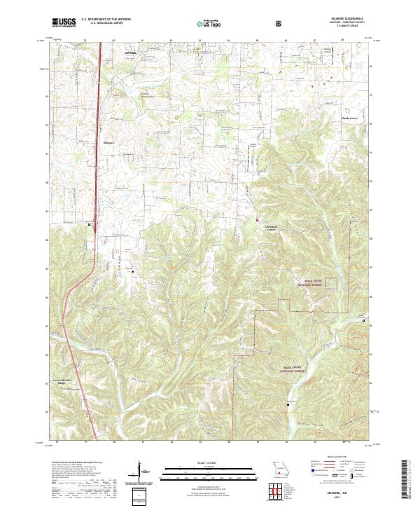
2021 Map of Selmore
USGS Topo · Published 2021About this map
Ozark and the nearby community of Selmore anchor the northwestern portion of this 2021 Christian County survey, where suburban expansion meets the deeply dissected drainages of the Missouri Ozarks. The landscape transitions rapidly from the grid of residential streets near Skyview Airport into the dense timber and winding valleys of the Mark Twain National Forest. The map captures a unique mix of modern transportation infrastructure and geological landmarks, including the notable Selmore Natural Arch. To the east and south, the terrain becomes increasingly complex, defined by a network of hollows such as Flyblow Hollow and Beckout Hollow that feed into Bull Creek. Several family burial grounds, including the Adams Cemetery and Mapes Family Cemetery, are preserved among the ridges, offering a clear record of the area's rural genealogical heritage amidst contemporary growth.
Find a feature on this map
122 named features on this map. Tap any name to fly to it.
Don’t see what you’re looking for? This feature index may not catch every label — zoom into the map to look around manually.
Map Details
Editions of this 2021 Selmore Map
This is the sole edition of this map. No revisions or reprints were ever made.
Other maps of this area

1884 · Springfield
USGS Topo · 1:125,000

1886 · Springfield
USGS Topo · 1:125,000

1907 · Forsyth
USGS Topo · 1:125,000

1937 · Ozark
USGS Topo · 1:48,000

1943 · Ozark
USGS Topo · 1:62,500

1945 · Harrison
USGS Topo · 1:250,000

1945 · Ozark
USGS Topo · 1:62,500

1949 · Harrison
USGS Topo · 1:250,000

1954 · Harrison
USGS Topo · 1:250,000

1954 · Springfield
USGS Topo · 1:250,000