
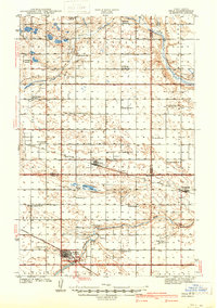
1941 Map of Selz
USGS Topo · Published 1941About this map
The Sheyenne River winds through this North Dakota prairie landscape, anchoring a network of early twentieth-century rural school districts and small rail towns. At the southern edge of the map, the city of Harvey serves as a significant hub for the Minneapolis St Paul and Sault Ste Marie railroad, featuring the Sheyenne River Academy and Sunnyside Cem. The surrounding townships—including Alexander, Hagel, and Hillsdale—are dotted with a dense grid of one-room schoolhouses like Strasburg Sch No 1 and Odessa Sch No 3, reflecting the high density of family farms during this era.
Find a feature on this map
48 named features on this map. Tap any name to fly to it.
Don’t see what you’re looking for? This feature index may not catch every label — zoom into the map to look around manually.
Map Details
Editions of this 1941 Selz Map
2 editions found
Other maps of this area

1940 · Aylmer
USGS Topo · 1:62,500

1943 · Maddock
USGS Topo · 1:62,500

1945 · Maddock
USGS Topo · 1:62,500

1945 · Manfred
USGS Topo · 1:62,500

1946 · Sheyenne Lake
USGS Topo · 1:48,000

1947 · Sheyenne Lake
USGS Topo · 1:62,500

1948 · Fessenden
USGS Topo · 1:62,500

1948 · Manfred
USGS Topo · 1:62,500

1949 · Fessenden West
USGS Topo · 1:24,000

1950 · Wellsburg
USGS Topo · 1:24,000