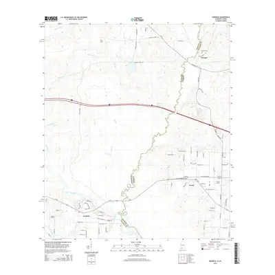
2014 Map of Seminole
USGS Topo · Published 2014About this map
The Perdido River serves as the winding natural boundary between Baldwin County, Alabama, and Escambia County, Florida, anchoring a landscape defined by its waterways. This 2014 survey captures the rural character of the borderlands where the Styx River and Blackwater River converge near Seminole. The map provides significant detail for genealogists, identifying several local burial sites including Allen Cem, Old Muscogee Cem, and Mitchell Cem.
Find a feature on this map
77 named features on this map. Tap any name to fly to it.
Don’t see what you’re looking for? This feature index may not catch every label — zoom into the map to look around manually.
Map Details
Editions of this 2014 Seminole Map
This is the sole edition of this map. No revisions or reprints were ever made.
Other maps of this area

1920 · Robertsdale
USGS Topo · 1:62,500

1921 · Bon Secour
USGS Topo · 1:62,500

1921 · Fort Barrancas
USGS Topo · 1:62,500

1921 · Muscogee
USGS Topo · 1:62,500

1941 · Fort Barrancas
USGS Topo · 1:62,500

1941 · Muscogee
USGS Topo · 1:62,500

1941 · Robertsdale
USGS Topo · 1:62,500

1941 · Foley
USGS Topo · 1:62,500

1943 · Robertsdale
USGS Topo · 1:62,500

1943 · Muscogee
USGS Topo · 1:62,500