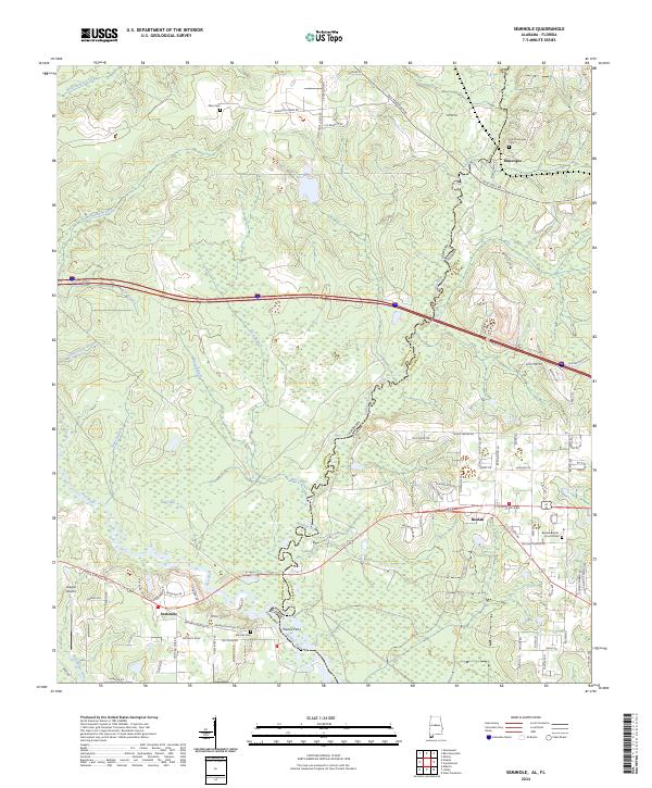
2024 Map of Seminole
USGS Topo · Published 2024About this map
The Perdido River serves as the winding natural boundary between Alabama and Florida, anchoring a landscape defined by riverine bends and local crossroads. On the Alabama side, the settlement of Seminole sits near the confluence of the Styx River and the Blackwater River, while the Florida side features the community of Beulah and the riverside site of Muscogee. This contemporary survey preserves several significant sites for family historians, including the Old Muscogee Cem and the Beulah Baptist Church Cem. The road network follows old corridors like the Old Pensacola Rd, and the presence of Nunez Ferry on the Perdido highlights historical transit points across the state line. From the heights of Makani Hill to the wetland reaches of Soper Bay, the map details a region where creek branches like Horsecollar Branch and Allen Spring Branch drain into the primary river systems.
Find a feature on this map
93 named features on this map. Tap any name to fly to it.
Don’t see what you’re looking for? This feature index may not catch every label — zoom into the map to look around manually.
Map Details
Editions of this 2024 Seminole Map
This is the sole edition of this map. No revisions or reprints were ever made.
Other maps of this area

1920 · Robertsdale
USGS Topo · 1:62,500

1921 · Bon Secour
USGS Topo · 1:62,500

1921 · Fort Barrancas
USGS Topo · 1:62,500

1921 · Muscogee
USGS Topo · 1:62,500

1941 · Fort Barrancas
USGS Topo · 1:62,500

1941 · Muscogee
USGS Topo · 1:62,500

1941 · Robertsdale
USGS Topo · 1:62,500

1941 · Foley
USGS Topo · 1:62,500

1943 · Robertsdale
USGS Topo · 1:62,500

1943 · Muscogee
USGS Topo · 1:62,500