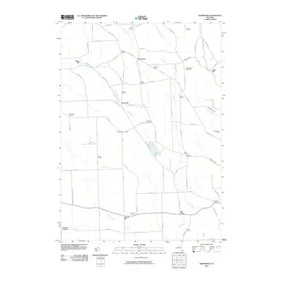
2010 Map of Sempronius
USGS Topo · Published 2010About this map
Lake Como sits at the heart of this rural landscape, surrounded by the headwaters of Fall Creek and Mill Brook. The area is characterized by deep ravines known locally as gulfs, including Scott Gulf, Sherman Gulf, and Vrooman Gulf, which carve through the high ground of Houghton Hill. These geological features influenced the development of small agricultural and industrial hubs like Sempronius, Dresserville, and Como, where the moving water supported early processing sites like Morse Mill and Grout Mill.
Find a feature on this map
94 named features on this map. Tap any name to fly to it.
Don’t see what you’re looking for? This feature index may not catch every label — zoom into the map to look around manually.
Map Details
Editions of this 2010 Sempronius Map
This is the sole edition of this map. No revisions or reprints were ever made.
Other maps of this area

1898 · Moravia
USGS Topo · 1:62,500

1899 · Skaneateles
USGS Topo · 1:62,500

1900 · Tully
USGS Topo · 1:62,500

1902 · Skaneateles
USGS Topo · 1:62,500

1902 · Moravia
USGS Topo · 1:62,500

1903 · Cortland
USGS Topo · 1:62,500

1942 · Groton
USGS Topo · 1:24,000

1943 · Moravia
USGS Topo · 1:31,680

1943 · West Groton
USGS Topo · 1:31,680

1943 · Spafford
USGS Topo · 1:31,680