
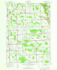
1943 Map of West Groton
USGS Topo · Published 1943About this map
Agricultural crossroads and family-named corners define this landscape in Tompkins County during the early 1940s. The region is marked by a dense network of local schools, ranging from School No 5 near North Lansing to School No 21 south of Benson Corners, reflecting the rural education system of the era. The terrain transitions from the elevations of Bean Hill in the south toward the marshy stretches of Bear Swamp and the narrow valley of Owasco Inlet in the northeast.
Find a feature on this map
79 named features on this map. Tap any name to fly to it.
Don’t see what you’re looking for? This feature index may not catch every label — zoom into the map to look around manually.
Map Details
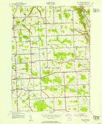
Editions of this 1943 West Groton Map
3 editions found
Other maps of this area

1893 · Ithaca
USGS Topo · 1:62,500

1895 · Ithaca
USGS Topo · 1:62,500

1898 · Moravia
USGS Topo · 1:62,500

1900 · Dryden
USGS Topo · 1:62,500

1902 · Moravia
USGS Topo · 1:62,500

1902 · Genoa
USGS Topo · 1:62,500

1905 · Watkins Glen
USGS Topo · 1:125,000

1906 · Catatonk
USGS Topo · 1:125,000

1942 · Ludlowville
USGS Topo · 1:24,000

1942 · Groton
USGS Topo · 1:24,000