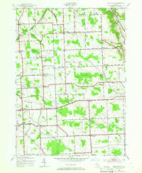
1943 Map of West Groton
USGS Topo · Published 1953About this map
Lansing and Groton townships define the landscape of this 1943 survey, which reveals a dense network of early 20th-century rural school districts and family-named intersections. The area is characterized by high-plateau agriculture, where the headwaters of Salmon Creek cut through the terrain near North Lansing. The map preserves the specific locations of numerous one-room schoolhouses, from School No 5 in the north down to School No 21 near West Dryden, providing a detailed look at the rural education infrastructure of the era. Settlement patterns are focused around traditional corner hamlets like Howser Corner and Pierson Corners. This survey, compiled from 1942 aerial photography, also documents early fossil fuel exploration in the region, noting a Gas Well near the intersection of North Triphammer Road. From the Bear Swamp wetlands to the flat expanses of Bone Plains, the map captures the transition between the rolling hills of Lobdell Hill and the established farmsteads of the Finger Lakes uplands.
Find a feature on this map
64 named features on this map. Tap any name to fly to it.
Don’t see what you’re looking for? This feature index may not catch every label — zoom into the map to look around manually.
Map Details
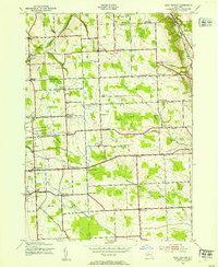
Editions of this 1943 West Groton Map
3 editions found

Other maps of this area

1893 · Ithaca
USGS Topo · 1:62,500

1895 · Ithaca
USGS Topo · 1:62,500

1898 · Moravia
USGS Topo · 1:62,500

1900 · Dryden
USGS Topo · 1:62,500

1902 · Moravia
USGS Topo · 1:62,500

1902 · Genoa
USGS Topo · 1:62,500

1905 · Watkins Glen
USGS Topo · 1:125,000

1906 · Catatonk
USGS Topo · 1:125,000

1942 · Ludlowville
USGS Topo · 1:24,000

1942 · Groton
USGS Topo · 1:24,000