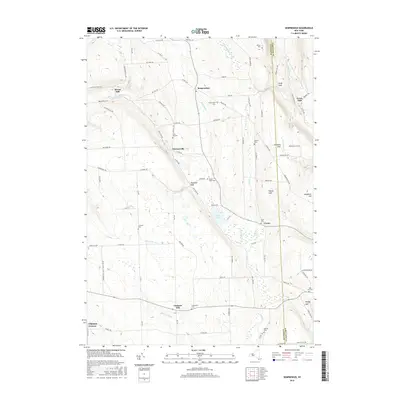
2016 Map of Sempronius
USGS Topo · Published 2016About this map
Lake Como sits at the heart of this landscape, its waters feeding the Lake Como Outlet and Fall Cr as they move through the hills of Cayuga and Cortland Counties. The drainage patterns defined the early industrial footprint of the region, evident in the placement of Morse Mill and Grout Mill along the flowing creeks. Small, established hamlets like Sempronius and Dresserville anchor the local road network, which follows the winding topography of the Finger Lakes highlands.
Find a feature on this map
94 named features on this map. Tap any name to fly to it.
Don’t see what you’re looking for? This feature index may not catch every label — zoom into the map to look around manually.
Map Details
Editions of this 2016 Sempronius Map
This is the sole edition of this map. No revisions or reprints were ever made.
Other maps of this area

1898 · Moravia
USGS Topo · 1:62,500

1899 · Skaneateles
USGS Topo · 1:62,500

1900 · Tully
USGS Topo · 1:62,500

1902 · Skaneateles
USGS Topo · 1:62,500

1902 · Moravia
USGS Topo · 1:62,500

1903 · Cortland
USGS Topo · 1:62,500

1942 · Groton
USGS Topo · 1:24,000

1943 · Moravia
USGS Topo · 1:31,680

1943 · West Groton
USGS Topo · 1:31,680

1943 · Spafford
USGS Topo · 1:31,680