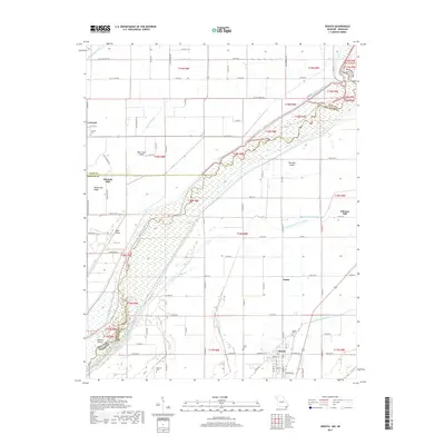
2017 Map of Senath
USGS Topo · Published 2017About this map
Senath anchors this survey of the Missouri-Arkansas borderlands, where the Saint Francis River winds through a landscape defined by an intricate network of drainage and navigation. The border between Dunklin Co, Missouri, and Clay Co, Arkansas, follows the river's path, cutting through bottomlands marked by Blue Cane Island and Bear Island. This agricultural corridor is heavily engineered, featuring the Varney River Canal and Old Channel Varney River, alongside numerous ditches like Big Slough Ditch and Honey Cypress Ditch Number 2 that reclaimed the swampy terrain for farming.
Find a feature on this map
84 named features on this map. Tap any name to fly to it.
Don’t see what you’re looking for? This feature index may not catch every label — zoom into the map to look around manually.
Map Details
Editions of this 2017 Senath Map
This is the sole edition of this map. No revisions or reprints were ever made.
Other maps of this area

1934 · Kennett
USGS Topo · 1:62,500

1935 · Rector
USGS Topo · 1:62,500

1940 · Marmaduke
USGS Topo · 1:62,500

1940 · Kennett
USGS Topo · 1:62,500

1940 · Piggott
USGS Topo · 1:62,500

1956 · Kennett
USGS Topo · 1:62,500

1956 · Piggott
USGS Topo · 1:62,500

1957 · Poplar Bluff
USGS Topo · 1:250,000

1958 · Marmaduke
USGS Topo · 1:62,500

1958 · Rector
USGS Topo · 1:62,500