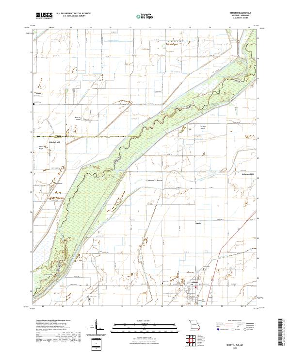
2021 Map of Senath
USGS Topo · Published 2021About this map
Senath serves as the primary hub of this Bootheel landscape, situated amidst an intricate network of drainage ditches and sloughs that define the Missouri-Arkansas borderlands. The winding Saint Francis River creates a meandering natural boundary between Greene County, Arkansas, and Dunklin County, Missouri, carving out unique landforms like Two Mile Island and Bear Island. This 2021 survey illustrates a region heavily shaped by hydraulic engineering, where features like the Varney River Canal, Big Slough Ditch, and Honey Cypress Ditch Number 34 have been utilized to manage the low-lying terrain.
Find a feature on this map
82 named features on this map. Tap any name to fly to it.
Don’t see what you’re looking for? This feature index may not catch every label — zoom into the map to look around manually.
Map Details
Editions of this 2021 Senath Map
This is the sole edition of this map. No revisions or reprints were ever made.
Other maps of this area

1934 · Kennett
USGS Topo · 1:62,500

1935 · Rector
USGS Topo · 1:62,500

1940 · Marmaduke
USGS Topo · 1:62,500

1940 · Kennett
USGS Topo · 1:62,500

1940 · Piggott
USGS Topo · 1:62,500

1956 · Kennett
USGS Topo · 1:62,500

1956 · Piggott
USGS Topo · 1:62,500

1957 · Poplar Bluff
USGS Topo · 1:250,000

1958 · Marmaduke
USGS Topo · 1:62,500

1958 · Rector
USGS Topo · 1:62,500