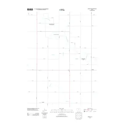
2013 Map of Seneca
USGS Topo · Published 2013About this map
The E Fork Des Moines River defines the rural character of this Emmet County landscape, meandering through a patchwork of agricultural sections north of Forsyth. The river valley is punctuated by public lands, including the East Des Moines Access Public Hunting Area and the Seneca Access Public Hunting Area, highlighting the region's emphasis on conservation and outdoor recreation. A structured grid of gravel and paved roads, such as 200th St and 570th Ave, connects the scattered settlements of Seneca and Forsyth. Notable infrastructure like the Des Moines River Bridge and smaller tributaries like Crooked Run and Black Cat Cr further illustrate the drainage patterns and transportation network of this northern Iowa farming territory during the early 21st century.
Find a feature on this map
40 named features on this map. Tap any name to fly to it.
Don’t see what you’re looking for? This feature index may not catch every label — zoom into the map to look around manually.
Map Details
Editions of this 2013 Seneca Map
This is the sole edition of this map. No revisions or reprints were ever made.
Other maps of this area

1954 · Fairmont
USGS Topo · 1:250,000

1958 · Fairmont
USGS Topo · 1:250,000

1980 · Lone Rock
USGS Topo · 1:24,000

1980 · Fenton
USGS Topo · 1:24,000

1980 · Depew
USGS Topo · 1:24,000

1980 · Seneca
USGS Topo · 1:24,000

1980 · Armstrong
USGS Topo · 1:24,000

1980 · Ringsted
USGS Topo · 1:24,000

1980 · Swea City
USGS Topo · 1:24,000

1980 · Armstrong SE
USGS Topo · 1:24,000