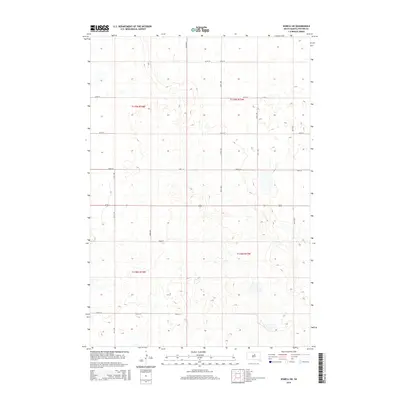
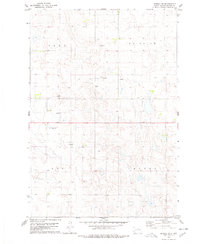
2015 Map of Seneca SW
USGS Topo · Published 2015About this map
The prairie landscape of Potter County is defined by a dense network of sectional roads and glacial depressions as it appeared in the early 21st century. The east-west corridor of 212 serves as the primary artery through this agricultural region, intersecting a grid of gravel routes such as 324th Ave and 321st Ave. This survey illustrates the Public Land Survey System (PLSS) divisions of townships t119n r74w and t119n r73w, showing how the land is systematically partitioned for farming. The terrain is marked by numerous small, unnamed water bodies and wetlands typical of the prairie pothole region, particularly clustered near 160th St and 326th Ave. For researchers, the map provides a precise layout of modern rural infrastructure and property boundaries.
Find a feature on this map
17 named features on this map. Tap any name to fly to it.
Don’t see what you’re looking for? This feature index may not catch every label — zoom into the map to look around manually.
Map Details
Editions of this 2015 Seneca SW Map
This is the sole edition of this map. No revisions or reprints were ever made.
Other maps of this area

1953 · Huron
USGS Topo · 1:250,000

1954 · Aberdeen
USGS Topo · 1:250,000

1954 · Huron
USGS Topo · 1:250,000

1956 · Aberdeen
USGS Topo · 1:250,000

1974 · Hoven
USGS Topo · 1:24,000
1974 · Gettysburg Muni. Airport NE
USGS Topo · 1:24,000
1978 · Bald Hills
USGS Topo · 1:24,000
1978 · Tolstoy
USGS Topo · 1:24,000

1978 · Seneca NW
USGS Topo · 1:24,000
1978 · Seneca SW
USGS Topo · 1:24,000