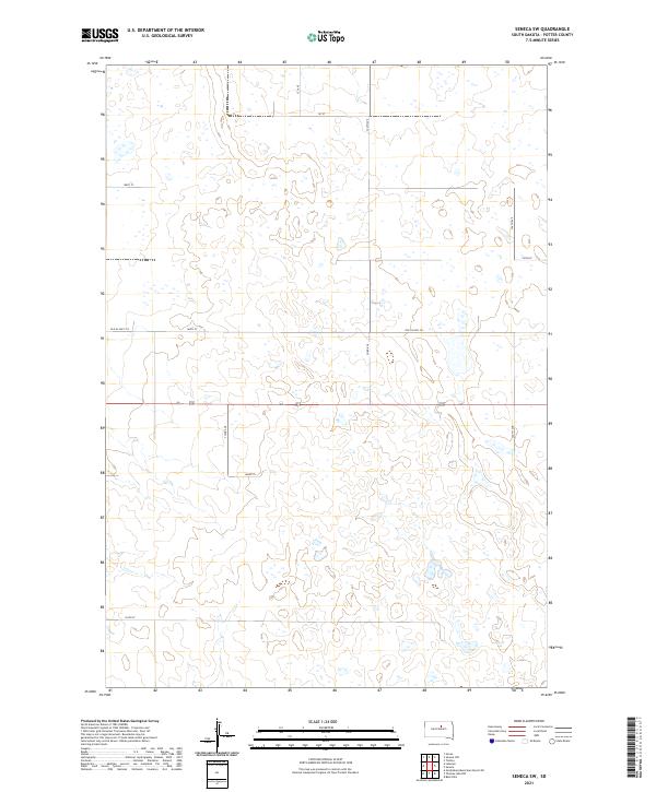
2021 Map of Seneca SW
USGS Topo · Published 2021About this map
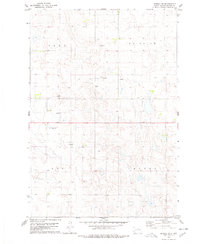
Potter County, South Dakota, reveals a landscape defined by the Public Land Survey System and a network of section-line roads in this modern study of the Seneca SW area. The terrain is characterized by numerous small depressions and seasonal wetlands typical of the Missouri Coteau region, with the rural grid anchored by routes such as 324th Ave and 157 St. Historical transit patterns are preserved through the naming of Old US Hwy 212, which suggests a realignment of the region's primary east-west corridor. Land ownership and genealogy researchers can utilize the precise section markers, such as those in t119n r73w and t118n r74w, to locate family homesteads or historic land tracts within this sparsely populated agricultural prairie.
Find a feature on this map
52 named features on this map. Tap any name to fly to it.
Don’t see what you’re looking for? This feature index may not catch every label — zoom into the map to look around manually.
Map Details
Editions of this 2021 Seneca SW Map
This is the sole edition of this map. No revisions or reprints were ever made.
Other maps of this area

1953 · Huron
USGS Topo · 1:250,000

1954 · Aberdeen
USGS Topo · 1:250,000

1954 · Huron
USGS Topo · 1:250,000

1956 · Aberdeen
USGS Topo · 1:250,000

1974 · Hoven
USGS Topo · 1:24,000
1974 · Gettysburg Muni. Airport NE
USGS Topo · 1:24,000
1978 · Bald Hills
USGS Topo · 1:24,000
1978 · Tolstoy
USGS Topo · 1:24,000

1978 · Seneca NW
USGS Topo · 1:24,000
1978 · Seneca SW
USGS Topo · 1:24,000