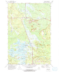
1972 Map of Seney
USGS Topo · Published 1975About this map
The Seney National Wildlife Refuge dominates the landscape of this portion of Michigan's Upper Peninsula, featuring an extensive network of managed pools including A Pool, H Pool, and M Pool. This engineered wetland system is supported by the Holland Ditch and integrated into the broader drainages of the Manistique River and the Fox River. The settlement of Seney sits at a strategic transit point where the Soo Line railroad intersects the river system, while an Old Railroad Grade to the west hints at former logging or industrial routes through the Seney Grand Sable State Forest. Notable local landmarks like Boot Hill and the Lookout Tower near the Refuge Headquarters provide specific points of interest for those researching the physical development of the refuge and the community of Germfask to the south.
Find a feature on this map
41 named features on this map. Tap any name to fly to it.
Don’t see what you’re looking for? This feature index may not catch every label — zoom into the map to look around manually.
Map Details
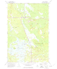
Editions of this 1972 Seney Map
2 editions found
Other maps of this area

1931 · Seney SW
USGS Topo · 1:31,680

1931 · Seney NW
USGS Topo · 1:31,680

1931 · Manistique River NE
USGS Topo · 1:31,680

1931 · Driggs Lake NE
USGS Topo · 1:31,680

1931 · Seney SE
USGS Topo · 1:31,680

1931 · Blaney NE
USGS Topo · 1:31,680

1931 · Blaney NW
USGS Topo · 1:31,680

1931 · Driggs Lake SE
USGS Topo · 1:31,680

1954 · Sault Sainte Marie
USGS Topo · 1:250,000

1956 · Sault Sainte Marie
USGS Topo · 1:250,000