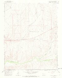
1966 Map of Sentinel Peak SE
USGS Topo · Published 1969About this map
The Ute Mountain Indian Reservation dominates this mid-1960s landscape, where the high desert terrain of Montezuma County meets the New Mexico border. The map documents a sparsely populated but active region, characterized by a complex network of seasonal drainage channels including Cowboy Wash, Aztec Wash, and Navajo Wash that feed toward the southern boundary. Along the southern edge, the Mancos River winds past ancient sites marked as Indian Ruins, offering a glimpse into the long human history of the Tanner Canyon area. This period of the 1960s was also defined by industrial exploration, evidenced by numerous Drill Holes and several Oil Wells scattered across the northern sections, while a single Corral and a Gravel Pit suggest localized ranching and infrastructure needs during this era.
Find a feature on this map
17 named features on this map. Tap any name to fly to it.
Don’t see what you’re looking for? This feature index may not catch every label — zoom into the map to look around manually.
Map Details
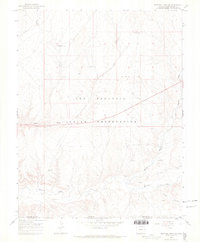
Editions of this 1966 Sentinel Peak SE Map
2 editions found
Other maps of this area

1889 · Chaco
USGS Topo · 1:250,000

1892 · Chaco
USGS Topo · 1:250,000

1934 · Chimney Rock
USGS Topo · 1:62,500

1934 · Rattlesnake
USGS Topo · 1:62,500

1936 · Chimney Rock
USGS Topo · 1:62,500

1937 · Rattlesnake
USGS Topo · 1:62,500

1954 · Shiprock
USGS Topo · 1:250,000

1956 · Cortez
USGS Topo · 1:250,000

1958 · Sentinel Peak NW
USGS Topo · 1:24,000

1958 · Sentinel Peak NE
USGS Topo · 1:24,000