
1952 Map of Seton Village
USGS Topo · Published 1953About this map
Sebastian De Vargas Grant and other expansive Spanish land grants dominate this high-desert landscape just south of Santa Fe during the early 1950s. The topography is defined by significant drainages including Arroyo Hondo and Cañada de los Alamos, cutting through terrain marked by the Cerros Negros. Cultural features are centered on Seton Village and several established outposts like Rancho La Merced and Ninemile Ranch. The Atchison Topeka and Santa Fe railroad line meanders through the central and southern portions of the sheet, reflecting the vital transportation corridor of the era. A notable Landing Field and an Gravel Pit (Inactive) indicate the localized industrial and aviation infrastructure of the post-war period. The northeastern corner reaches into the Santa Fe National Forest, where the terrain steepens into Piedras Negras Canyon.
Find a feature on this map
28 named features on this map. Tap any name to fly to it.
Don’t see what you’re looking for? This feature index may not catch every label — zoom into the map to look around manually.
Map Details
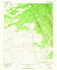
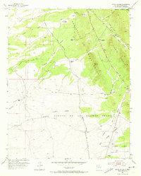
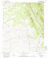
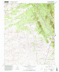
Editions of this 1952 Seton Village Map
5 editions found
Other maps of this area

1889 · Santa Fe
USGS Topo · 1:125,000

1892 · San Pedro
USGS Topo · 1:125,000

1892 · Santa Clara
USGS Topo · 1:125,000

1894 · Santa Fe
USGS Topo · 1:125,000

1894 · Lamy
USGS Topo · 1:125,000

1951 · Agua Fria
USGS Topo · 1:24,000

1951 · Turquoise Hill
USGS Topo · 1:24,000

1952 · Santa Fe
USGS Topo · 1:24,000

1952 · Turquoise Hill
USGS Topo · 1:24,000

1953 · Glorieta
USGS Topo · 1:24,000