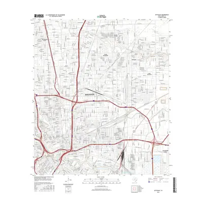
2016 Map of Settegast
USGS Topo · Published 2016About this map
Buffalo Bayou and the Houston-Galveston Navigation Channel dominate the southern reach of this 2016 survey, where the industrial and maritime character of Houston meets the residential grids of Jacinto City. The landscape is defined by the dense convergence of infrastructure, from the Houston Belt and Terminal RR to the major thoroughfares of Navigation Blvd and Harrisburg Blvd. For genealogists, the map is particularly detailed regarding local final resting places, showing the proximity of Saint Vincent Cem, Holy Cross Cem, and Hollywood Cem near the banks of Little Whiteoak Bayou.
Find a feature on this map
29 named features on this map. Tap any name to fly to it.
Don’t see what you’re looking for? This feature index may not catch every label — zoom into the map to look around manually.
Map Details
Editions of this 2016 Settegast Map
This is the sole edition of this map. No revisions or reprints were ever made.
Other maps of this area

1915 · Bellaire
USGS Topo · 1:24,000

1915 · Park Place
USGS Topo · 1:24,000

1915 · Houston Heights
USGS Topo · 1:24,000

1915 · Deepwater
USGS Topo · 1:24,000

1916 · Aldine
USGS Topo · 1:24,000

1916 · Settegast
USGS Topo · 1:24,000

1916 · Fauna
USGS Topo · 1:24,000

1916 · Harmaston
USGS Topo · 1:24,000

1916 · Humble
USGS Topo · 1:24,000

1919 · Aldine
USGS Topo · 1:31,680