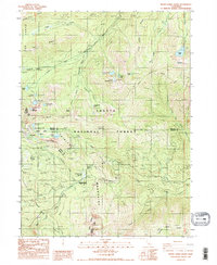
1986 Map of Seven Lakes Basin
USGS Topo · Published 1986About this map
Shasta National Forest dominates this mid-1980s landscape at the intersection of Siskiyou, Shasta, and Trinity counties. The high-elevation terrain is defined by the headwaters of major northern California waterways, including the South Fork Sacramento River and the East Fork Trinity River. The network of alpine waters is particularly dense within the Seven Lakes Basin, which features clusters like Upper Seven Lake and Lower Seven Lake.
Find a feature on this map
51 named features on this map. Tap any name to fly to it.
Don’t see what you’re looking for? This feature index may not catch every label — zoom into the map to look around manually.
Map Details
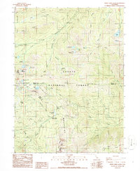
Editions of this 1986 Seven Lakes Basin Map
2 editions found
Other maps of this area

1886 · Shasta
USGS Topo · 1:250,000

1894 · Shasta
USGS Topo · 1:250,000

1923 · Sawyers Bar
USGS Topo · 1:125,000

1931 · Etna
USGS Topo · 1:96,000

1934 · Etna
USGS Topo · 1:125,000

1935 · Dunsmuir
USGS Topo · 1:125,000

1948 · Weed
USGS Topo · 1:250,000

1950 · Weed
USGS Topo · 1:250,000

1954 · Weed
USGS Topo · 1:62,500

1954 · Dunsmuir
USGS Topo · 1:62,500