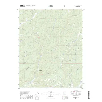
2023 Map of Seven Springs
USGS Topo · Published 2023About this map
Seven Springs and La Cueva anchor this modern survey of the Jemez Mountains region within the Santa Fe National Forest. The landscape is defined by an intricate network of drainage systems, including the Rio Cebolla, San Antonio Creek, and Sulphur Creek, which carve out numerous named canyons such as Sawmill Canyon and Telephone Canyon. The presence of Fenton Lake in the southwest corner suggests the importance of water management and recreation in this high-altitude environment.
Find a feature on this map
44 named features on this map. Tap any name to fly to it.
Don’t see what you’re looking for? This feature index may not catch every label — zoom into the map to look around manually.
Map Details
Editions of this 2023 Seven Springs Map
This is the sole edition of this map. No revisions or reprints were ever made.
Other maps of this area

1890 · Jemes
USGS Topo · 1:125,000

1892 · Jemes
USGS Topo · 1:125,000

1909 · Gallina
USGS Topo · 1:125,000

1937 · Jemez Springs
USGS Topo · 1:48,000

1939 · La Ventana
USGS Topo · 1:62,500

1940 · Cuba
USGS Topo · 1:62,500

1943 · Cuba
USGS Topo · 1:62,500

1943 · La Ventana
USGS Topo · 1:62,500

1944 · Jemez Springs
USGS Topo · 1:62,500

1952 · Jemez Springs
USGS Topo · 1:62,500