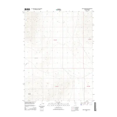
2014 Map of Seven Troughs NW
USGS Topo · Published 2014About this map
Blue Wing Mountains dominate the southern portion of this high-desert landscape in Pershing County, where the topography shifts into the broad expanse of Kumiva Valley to the north. This 2014 survey documents the remote character of the Great Basin, centering on the intersection of four townships including t30n r27e and t29n r28e. The presence of Heineke Spring in the northwest corner marks a critical water source in an otherwise arid environment defined by dramatic elevation contours. A single transportation artery, State Hwy 399, cuts through the southwestern corner, providing the only major access through this unpopulated terrain. The map serves as a primary record of the land's physical layout, highlighting the vast distances between reliable water and established infrastructure in the Nevada desert.
Find a feature on this map
8 named features on this map. Tap any name to fly to it.
Don’t see what you’re looking for? This feature index may not catch every label — zoom into the map to look around manually.
Map Details
Editions of this 2014 Seven Troughs NW Map
This is the sole edition of this map. No revisions or reprints were ever made.
Other maps of this area

1886 · Granite Range
USGS Topo · 1:250,000

1894 · Granite Range
USGS Topo · 1:250,000

1931 · Lovelock
USGS Topo · 1:250,000

1935 · Lovelock
USGS Topo · 1:250,000

1955 · Lovelock
USGS Topo · 1:250,000

1959 · Lovelock
USGS Topo · 1:250,000

1980 · Eagle Rock Spring
USGS Topo · 1:24,000

1981 · Twin Buttes Well
USGS Topo · 1:24,000

1981 · Gerlach
USGS Topo · 1:100,000

1981 · Bluewing Flat North
USGS Topo · 1:24,000