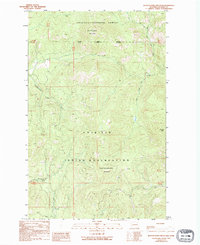
1989 Map of Seventeenmile Mountain
USGS Topo · Published 1994About this map
Colville Indian Reservation land occupies the southern portion of this landscape, meeting the Colville National Forest at the National Indian Forest Reservation Boundary. This 1989 provisional survey, based on 1983 aerial photography, illustrates a remote mountainous terrain in Ferry County defined by massive summits like Seventeenmile Mountain and South Seventeenmile Mountain. The drainage patterns are clearly delineated, showing the headwaters of Seventeenmile Creek and the West Fork Hall Creek as they carve through the high elevations. The map reveals the intricate network of forest roads and trails that provided access to these peaks and the eastern slopes of Grizzly Mtn. This document serves as a detailed record of late-20th-century forest management boundaries and topographical details before subsequent environmental changes in the Pacific Northwest.
Find a feature on this map
12 named features on this map. Tap any name to fly to it.
Don’t see what you’re looking for? This feature index may not catch every label — zoom into the map to look around manually.
Map Details
Editions of this 1989 Seventeenmile Mountain Map
2 editions found
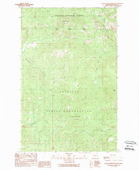
Other maps of this area

1904 · Republic
USGS Topo · 1:125,000

1936 · Marcus
USGS Topo · 1:96,000

1942 · Marcus
USGS Topo · 1:125,000

1948 · Republic
USGS Topo · 1:62,500

1948 · Sherman Peak
USGS Topo · 1:62,500

1951 · Sherman Peak
USGS Topo · 1:62,500

1951 · Republic
USGS Topo · 1:62,500

1952 · Twin Lakes
USGS Topo · 1:62,500

1953 · Seventeenmile Mtn.
USGS Topo · 1:62,500

1954 · Okanogan
USGS Topo · 1:250,000