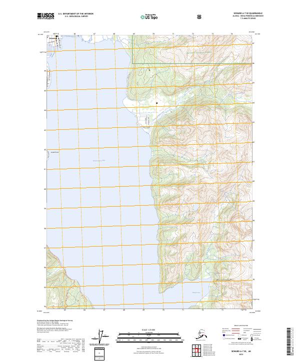
2023 Map of Seward A-7 SE
USGS Topo · Published 2023About this map
Seward and the coastal settlement of Lowell Point occupy the western edge of Resurrection Bay in this recent survey. The map details the coastal infrastructure along the Kenai Peninsula, including the industrial and maritime access points near Freight Dock Rd and Port Avenue. To the east, the steep terrain of the Resurrection Peninsula rises sharply from the water, punctuated by drainage basins for Godwin Creek and Fourth of July Creek.
Find a feature on this map
23 named features on this map. Tap any name to fly to it.
Don’t see what you’re looking for? This feature index may not catch every label — zoom into the map to look around manually.
Map Details
Editions of this 2023 Seward A-7 SE Map
This is the sole edition of this map. No revisions or reprints were ever made.
Other maps of this area

1946 · Blying Sound
USGS Topo · 1:250,000

1950 · Seward A-6
USGS Topo · 1:63,360

1950 · Blying Sound D-7
USGS Topo · 1:63,360

1950 · Blying Sound D-6
USGS Topo · 1:63,360

1950 · Seward A-7
USGS Topo · 1:63,360

1951 · Blying Sound
USGS Topo · 1:250,000

1951 · Seward
USGS Topo · 1:250,000

1951 · Seward A-6
USGS Topo · 1:63,360

1951 · Seward A-7
USGS Topo · 1:63,360

1951 · Blying Sound D-7
USGS Topo · 1:63,360