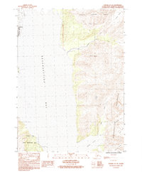
1983 Map of Seward A-7 SE
USGS Topo · Published 1983About this map
Seward serves as the focal point for this survey of the Kenai Peninsula’s eastern coast, where the urban corporate boundary meets the expansive Chugach National Forest. The landscape is dominated by the glacial systems of the Resurrection peninsula, including the Godwin Glacier, Prospect Glacier, and Spoon Glacier. These ice masses feed into coastal drainages like Fourth of July Creek and Likes Creek, which empty into the waters of Resurrection Bay.
Find a feature on this map
16 named features on this map. Tap any name to fly to it.
Don’t see what you’re looking for? This feature index may not catch every label — zoom into the map to look around manually.
Map Details
Editions of this 1983 Seward A-7 SE Map
This is the sole edition of this map. No revisions or reprints were ever made.
Other maps of this area

1946 · Blying Sound
USGS Topo · 1:250,000

1950 · Seward A-6
USGS Topo · 1:63,360

1950 · Blying Sound D-7
USGS Topo · 1:63,360

1950 · Blying Sound D-6
USGS Topo · 1:63,360

1950 · Seward A-7
USGS Topo · 1:63,360

1951 · Blying Sound
USGS Topo · 1:250,000

1951 · Seward
USGS Topo · 1:250,000

1951 · Seward A-6
USGS Topo · 1:63,360

1951 · Seward A-7
USGS Topo · 1:63,360

1951 · Blying Sound D-7
USGS Topo · 1:63,360