2018 Map of Seward C-1 NE
USGS Topo · Published 2018About this map
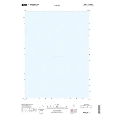
Prince William Sound dominates this maritime survey, illustrating a massive expanse of open water within the Valdez-Cordova Census Area. Unlike many coastal maps that trace the intricate shorelines of Alaska’s fjords, this specific quadrangle is defined almost entirely by the marine environment. The map captures a vital section of the northern sound during the late twenty-first century, a period marked by ongoing environmental monitoring and maritime transit in these subarctic waters. The absence of landmasses or terrestrial landmarks emphasizes the scale of the sound's water column, providing a precise geographic reference for the open sea between coastal ports.
Find a feature on this map
1 named feature on this map. Tap any name to fly to it.
Don’t see what you’re looking for? This feature index may not catch every label — zoom into the map to look around manually.
Map Details
Editions of this 2018 Seward C-1 NE Map
This is the sole edition of this map. No revisions or reprints were ever made.
Other maps of this area

1948 · Cordova
USGS Topo · 1:250,000

1950 · Cordova C-8
USGS Topo · 1:63,360

1951 · Seward
USGS Topo · 1:250,000

1951 · Cordova
USGS Topo · 1:250,000

1951 · Seward D-1
USGS Topo · 1:63,360

1951 · Cordova D-8
USGS Topo · 1:63,360

1951 · Seward C-1
USGS Topo · 1:63,360

1952 · Seward C-1
USGS Topo · 1:63,360

1952 · Seward D-1
USGS Topo · 1:63,360

1952 · Cordova D-8
USGS Topo · 1:63,360