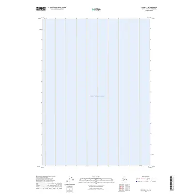
2023 Map of Seward C-1 NE
USGS Topo · Published 2023About this map
Prince William Sound dominates this portion of the Chugach Census Area, representing a segment of the Gulf of Alaska where the marine environment is the primary focus of the map. This 2023 survey provides a clear view of the open water within the Prince William Sound region, emphasizing the expanse of this coastal body of water without any terrestrial features or landmarks. Because elevation data for the area did not meet accuracy standards, contours are not present, leaving the focus entirely on the hydrography and the coordinate grid system of the Seward C-1 NE quadrangle.
Find a feature on this map
1 named feature on this map. Tap any name to fly to it.
Don’t see what you’re looking for? This feature index may not catch every label — zoom into the map to look around manually.
Map Details
Editions of this 2023 Seward C-1 NE Map
This is the sole edition of this map. No revisions or reprints were ever made.
Other maps of this area

1948 · Cordova
USGS Topo · 1:250,000

1950 · Cordova C-8
USGS Topo · 1:63,360

1951 · Seward
USGS Topo · 1:250,000

1951 · Cordova
USGS Topo · 1:250,000

1951 · Seward D-1
USGS Topo · 1:63,360

1951 · Cordova D-8
USGS Topo · 1:63,360

1951 · Seward C-1
USGS Topo · 1:63,360

1952 · Seward C-1
USGS Topo · 1:63,360

1952 · Seward D-1
USGS Topo · 1:63,360

1952 · Cordova D-8
USGS Topo · 1:63,360