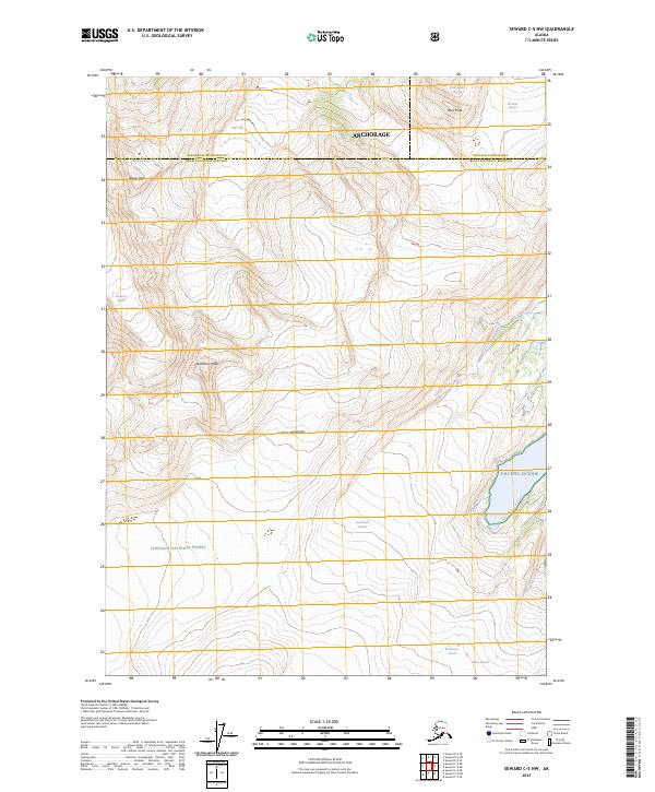
2023 Map of Seward C-5 NW
USGS Topo · Published 2023About this map
The Kenai Mountains dominate this high-latitude terrain, where the northern boundaries of the Chugach National Forest meet the jurisdictional lines of the Anchorage municipality and the Kenai Peninsula Borough. The landscape is defined by its massive ice fields and drainage patterns, including the expansive Byron Glacier and Whittier Glacier to the north, and the Blackstone Glacier and Beloit Glacier in the south. This 2023 survey illustrates the complex glacial geography of the region, where numerous named glaciers such as Concordia Glacier and Northland Glacier flow between jagged summits like Carpathian Peak and Byron Peak. The map's eastern edge touches the Pacific Ocean, providing a clear look at how these mountain ranges terminate at the coastline of the Kenai Peninsula.
Find a feature on this map
23 named features on this map. Tap any name to fly to it.
Don’t see what you’re looking for? This feature index may not catch every label — zoom into the map to look around manually.
Map Details
Editions of this 2023 Seward C-5 NW Map
This is the sole edition of this map. No revisions or reprints were ever made.
Other maps of this area

1951 · Seward
USGS Topo · 1:250,000

1951 · Seward C-6
USGS Topo · 1:63,360

1951 · Seward D-5
USGS Topo · 1:63,360

1951 · Seward C-5
USGS Topo · 1:63,360

1951 · Seward D-6
USGS Topo · 1:63,360

1952 · Seward D-5
USGS Topo · 1:63,360

1952 · Seward C-6
USGS Topo · 1:63,360

1952 · Seward D-6
USGS Topo · 1:63,360

1952 · Seward C-5
USGS Topo · 1:63,360

1953 · Seward
USGS Topo · 1:250,000