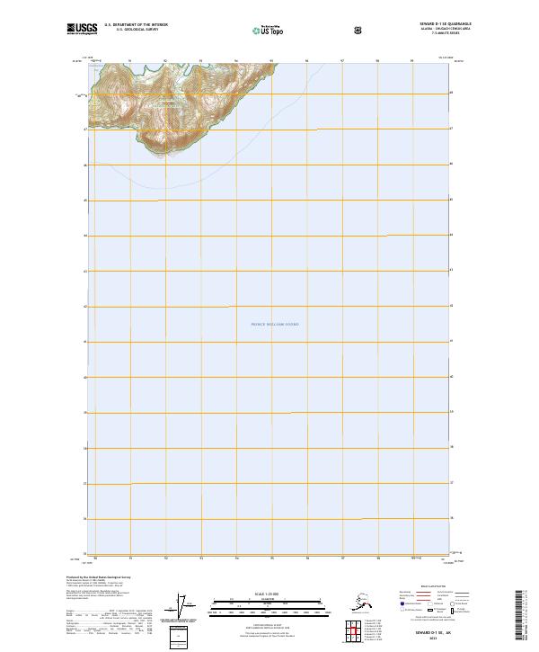
2023 Map of Seward D-1 SE
USGS Topo · Published 2023About this map
Chugach National Forest land meets the northern reaches of Prince William Sound in this 2023 survey of the Seward D-1 SE region. The landscape is defined by the steep transition from the open waters of the sound to the high-elevation contours of the national forest, where the coastline is punctuated by Chamberlain Bay. The map provides specific topographic detail for the shoreline and the prominent elevation of Bull Head as they appeared in the early 21st century. This area remains largely undeveloped, with no roads or permanent settlements recorded, reflecting its status as a remote maritime wilderness. Researchers can trace the precise contours of the Alaskan coast and the designated boundaries of Public Land Survey System townships like t11s r11w and t11s r10w along the forest edge.
Find a feature on this map
7 named features on this map. Tap any name to fly to it.
Don’t see what you’re looking for? This feature index may not catch every label — zoom into the map to look around manually.
Map Details
Editions of this 2023 Seward D-1 SE Map
This is the sole edition of this map. No revisions or reprints were ever made.
Other maps of this area

1948 · Cordova
USGS Topo · 1:250,000

1950 · Cordova C-8
USGS Topo · 1:63,360

1951 · Seward
USGS Topo · 1:250,000

1951 · Cordova
USGS Topo · 1:250,000

1951 · Seward D-1
USGS Topo · 1:63,360

1951 · Cordova D-8
USGS Topo · 1:63,360

1951 · Seward C-1
USGS Topo · 1:63,360

1952 · Seward C-1
USGS Topo · 1:63,360

1952 · Seward D-1
USGS Topo · 1:63,360

1952 · Cordova D-8
USGS Topo · 1:63,360