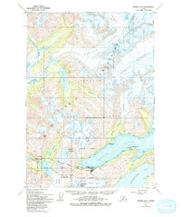
1951 Map of Seward D-5
USGS Topo · Published 1993About this map
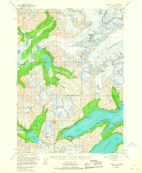
Whittier stands at the head of Passage Canal, serving as a critical rail-to-sea link for The Alaska Railroad in the early 1950s. The settlement's strategic geography is defined by the steep peaks of the Chugach Mountains, where the railroad pierces through to reach Portage Lake. This survey captures the region's intense glacial activity, from the sprawling Harriman Glacier to the ice-filled waters of Blackstone Bay and Surprise Glacier.
Find a feature on this map
42 named features on this map. Tap any name to fly to it.
Don’t see what you’re looking for? This feature index may not catch every label — zoom into the map to look around manually.
Map Details
Editions of this 1951 Seward D-5 Map
3 editions found
Other maps of this area

1951 · Seward
USGS Topo · 1:250,000

1951 · Anchorage
USGS Topo · 1:250,000

1951 · Seward C-6
USGS Topo · 1:63,360

1951 · Seward D-5
USGS Topo · 1:63,360

1951 · Seward C-5
USGS Topo · 1:63,360

1951 · Seward D-4
USGS Topo · 1:63,360

1951 · Seward C-4
USGS Topo · 1:63,360

1951 · Seward D-6
USGS Topo · 1:63,360

1952 · Seward D-5
USGS Topo · 1:63,360

1952 · Seward C-6
USGS Topo · 1:63,360