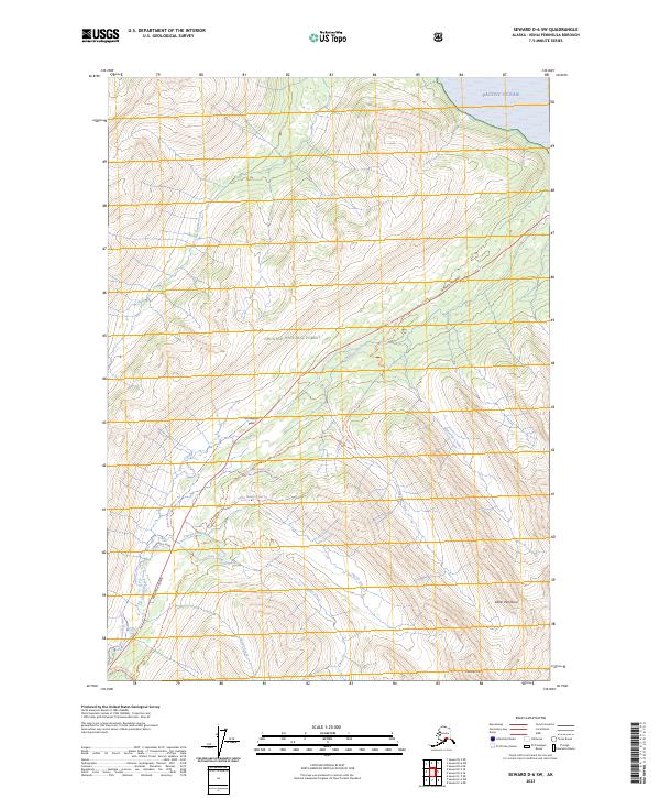
2023 Map of Seward D-6 SW
USGS Topo · Published 2023About this map
Turnagain Pass serves as the central focal point for this section of the Chugach National Forest, where the modern corridor of the Seward Highway meets historic transit routes. This area on the Kenai Peninsula is defined by its recreation-heavy landscape, documented through a dense network of specialized paths including the Tincan Mountain Ski Trl, Center Ridge Trl, and Tincan Secondary Ski Trl. The map illustrates the convergence of modern infrastructure and heritage trails, notably the Iditarod National Historic Trl as it winds near Lyon Ponds Road and Granite Creek. Waterways such as Ingram Creek and Wolverine Creek drain the slopes of Kickstep Mtn toward the Pacific Ocean, while the presence of the Bertha Creek Adv Trl indicates the area's continued importance for back-country access.
Find a feature on this map
26 named features on this map. Tap any name to fly to it.
Don’t see what you’re looking for? This feature index may not catch every label — zoom into the map to look around manually.
Map Details
Editions of this 2023 Seward D-6 SW Map
This is the sole edition of this map. No revisions or reprints were ever made.
Other maps of this area

1951 · Seward
USGS Topo · 1:250,000

1951 · Seward C-6
USGS Topo · 1:63,360

1951 · Seward D-7
USGS Topo · 1:63,360

1951 · Seward C-7
USGS Topo · 1:63,360

1951 · Seward D-6
USGS Topo · 1:63,360

1952 · Seward C-6
USGS Topo · 1:63,360

1952 · Seward D-6
USGS Topo · 1:63,360

1952 · Seward D-7
USGS Topo · 1:63,360

1953 · Seward C-7
USGS Topo · 1:63,360

1953 · Seward
USGS Topo · 1:250,000