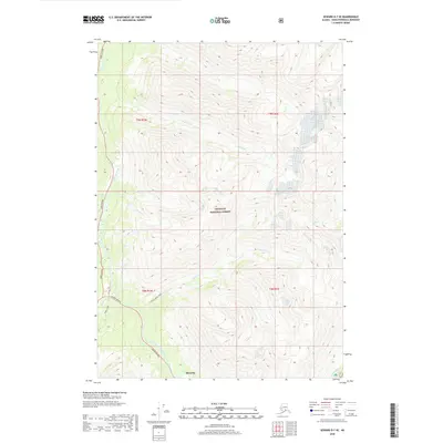
2018 Map of Seward D-7 SE
USGS Topo · Published 2018About this map
Sixmile Creek and its many tributaries define the landscape of this portion of the Chugach National Forest on the Kenai Peninsula. The confluence of East Fork Sixmile Creek and Canyon Cr occurs near the small settlement of Silvertip, where the Seward Highway meets the Hope Highway. This transportation corridor reflects the historical movement through the northern Kenai mountains, with access into the backcountry provided by the Gulch Creek Trail and Wibel Trail. The map documents a complex drainage system including Walker Cr, Seattle Cr, and Nelson Cr, illustrating the steep drainages that characterize the region's topography.
Find a feature on this map
21 named features on this map. Tap any name to fly to it.
Don’t see what you’re looking for? This feature index may not catch every label — zoom into the map to look around manually.
Map Details
Editions of this 2018 Seward D-7 SE Map
This is the sole edition of this map. No revisions or reprints were ever made.
Other maps of this area

1951 · Seward
USGS Topo · 1:250,000

1951 · Seward C-6
USGS Topo · 1:63,360

1951 · Seward D-7
USGS Topo · 1:63,360

1951 · Seward C-7
USGS Topo · 1:63,360

1951 · Seward D-6
USGS Topo · 1:63,360

1952 · Seward C-6
USGS Topo · 1:63,360

1952 · Seward D-6
USGS Topo · 1:63,360

1952 · Seward D-7
USGS Topo · 1:63,360

1953 · Seward C-7
USGS Topo · 1:63,360

1953 · Seward
USGS Topo · 1:250,000