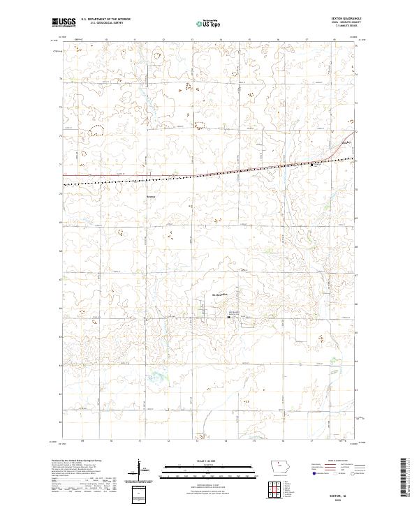
2022 Map of Sexton
USGS Topo · Published 2022About this map
The small communities of Sexton, St. Benedict, and Wesley anchor this corner of Kossuth County, characterized by a highly organized grid of rural roads and an extensive agricultural drainage network. Local history is centered around the Saint Benedict Catholic Cem and Evergreen Cem, which serve as permanent records of the area's early families. The landscape is defined by the transformation of the prairie through engineering, visible in the straight-channeled paths of Drainage Ditch Number 84 and Drainage Ditch Number 177. These man-made waterways supplement natural features like Purcell Cr, Prairie Cr, and Eddy Cr, illustrating how the region was adapted for large-scale farming. A dense network of county roads, including Co Hwy P60 and Old Hwy 18, connects the dispersed farmsteads to the central grain-handling settlements and church parishes.
Find a feature on this map
36 named features on this map. Tap any name to fly to it.
Don’t see what you’re looking for? This feature index may not catch every label — zoom into the map to look around manually.
Map Details
Editions of this 2022 Sexton Map
This is the sole edition of this map. No revisions or reprints were ever made.
Other maps of this area

1954 · Fairmont
USGS Topo · 1:250,000

1954 · Mason City
USGS Topo · 1:250,000

1954 · Waterloo
USGS Topo · 1:250,000

1954 · Fort Dodge
USGS Topo · 1:250,000

1955 · Waterloo
USGS Topo · 1:250,000

1957 · Fort Dodge
USGS Topo · 1:250,000

1957 · Mason City
USGS Topo · 1:250,000

1958 · Mason City
USGS Topo · 1:250,000

1958 · Fort Dodge
USGS Topo · 1:250,000

1958 · Fairmont
USGS Topo · 1:250,000