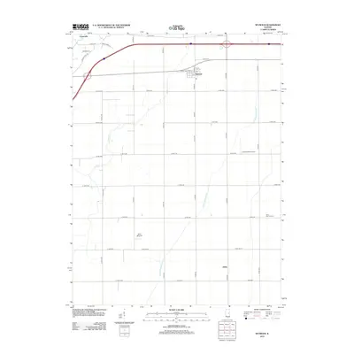
2012 Map of Seymour
USGS Topo · Published 2012About this map
Seymour serves as the central hub of this Champaign County landscape, centered on a grid of streets including Front St and Main St. The surrounding terrain is defined by a strictly organized system of section-line roads such as Co Rd-1500 and E 1700 N Rd, which weave around subtle geographic features like Blue Mound and the winding course of Camp Cr. To the west, the settlement of Centerville sits near the headwaters of local drainages, while the small community of Giblin occupies the southeast. Local infrastructure is reflected in the Litchfield RLA Airport and the channelized Kankakee Drainage Ditch, illustrating the intersection of aviation and intensive agricultural water management. Genealogists may find value in the location of Saint Boniface Cem situated along the eastern edge of the survey area.
Find a feature on this map
44 named features on this map. Tap any name to fly to it.
Don’t see what you’re looking for? This feature index may not catch every label — zoom into the map to look around manually.
Map Details
Editions of this 2012 Seymour Map
This is the sole edition of this map. No revisions or reprints were ever made.
Other maps of this area

1907 · Mahomet
USGS Topo · 1:62,500

1937 · Monticello
USGS Topo · 1:48,000

1943 · Monticello
USGS Topo · 1:62,500

1950 · Tuscola
USGS Topo · 1:62,500

1955 · Bement
USGS Topo · 1:62,500

1957 · Rising
USGS Topo · 1:24,000

1957 · Mahomet
USGS Topo · 1:62,500

1957 · Bondville
USGS Topo · 1:24,000

1958 · Peoria
USGS Topo · 1:250,000

1958 · Decatur
USGS Topo · 1:250,000