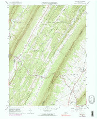
1966 Map of Shade Gap
USGS Topo · Published 1990About this map
Shade Mountain and Tuscarora Mountain dominate this mid-century portrait of central Pennsylvania's ridge-and-valley landscape. The region's settlement pattern follows the narrow, fertile valley floors, with small hubs like Shade Gap, Neelyton, and Dry Run serving as focal points for local commerce and community life. Transportation through the gaps and over the ridges is documented by a network of unimproved roads and several trails, emphasizing the topographical constraints on development during the 1960s.
Find a feature on this map
44 named features on this map. Tap any name to fly to it.
Don’t see what you’re looking for? This feature index may not catch every label — zoom into the map to look around manually.
Map Details
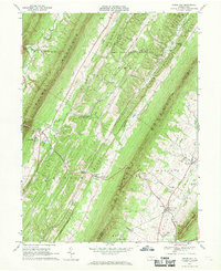
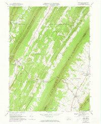
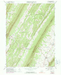
Editions of this 1966 Shade Gap Map
4 editions found
Other maps of this area

1919 · Mattawana
USGS Topo · 1:62,500

1922 · Mt Union
USGS Topo · 1:48,000

1923 · Shippensburg
USGS Topo · 1:62,500

1924 · Mt. Union
USGS Topo · 1:62,500

1936 · East Waterford
USGS Topo · 1:48,000

1939 · Orbisonia
USGS Topo · 1:62,500

1940 · Orbisonia
USGS Topo · 1:62,500

1941 · East Waterford
USGS Topo · 1:62,500

1943 · Shippensburg
USGS Topo · 1:62,500

1944 · Orbisonia
USGS Topo · 1:62,500