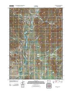
2011 Map of Shady Cove
USGS Topo · Published 2011About this map
The Rogue River defines the central corridor of this Jackson County landscape, flowing through a valley shaped by distinctive landforms like Murderer Gulch and Conover Gulch. Near the northern bend of the river, the settlement of Shady Cove serves as a local hub, anchored by the Shady Cove Post Office and nearby Johnson Cemetery. The distribution of water is central to the area's development, evidenced by an extensive network of irrigation features including the Hammel Lateral, Pettigrew Lateral, and various upland catchments like Humphrey Reservoirs and Gates Reservoir. Aviation infrastructure is notably present with the Rogue-Air Airport and the East Oregon Cattle Airport positioned on opposite sides of the river. The topography rises sharply to the east and west, marked by high points such as Mosser Mountain and Vestal Butte, which overlook the winding paths of Reese Creek and Indian Creek.
Find a feature on this map
73 named features on this map. Tap any name to fly to it.
Don’t see what you’re looking for? This feature index may not catch every label — zoom into the map to look around manually.
Map Details
Editions of this 2011 Shady Cove Map
This is the sole edition of this map. No revisions or reprints were ever made.
Other maps of this area

1891 · Ashland
USGS Topo · 1:250,000

1893 · Ashland
USGS Topo · 1:250,000

1897 · Ashland
USGS Topo · 1:250,000

1938 · Medford
USGS Topo · 1:125,000

1943 · Trail
USGS Topo · 1:62,500

1954 · Medford
USGS Topo · 1:62,500

1954 · Butte Falls
USGS Topo · 1:62,500

1954 · Lakecreek
USGS Topo · 1:62,500

1955 · Medford
USGS Topo · 1:250,000

1957 · Medford
USGS Topo · 1:250,000