1983 Map of Shady Cove
USGS Topo · Published 1983About this map
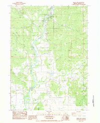
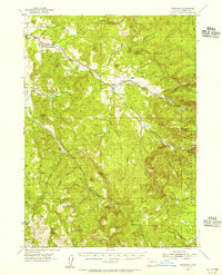
Shady Cove and the small settlement of Etna anchor this 1983 topographic survey of the Rogue River valley in Jackson County. The Rogue River dominates the landscape, with its flow monitored by a Gaging Station and bridged at Dodge Bridge. The era's focus on water management and transportation is evident through the presence of the West Lateral canal, an Aqueduct, and a Water Conduit threading through the foothills. Local recreation and infrastructure are well-marked, including Takelma Park, Trir Park, and a Landing Strip. The complex terrain east of the river is defined by prominent elevations such as Vesta Butte and Hog Mountain, while the industrial history of the region is hinted at by an Old RR Grade and numerous Borrow Pits scattered near the river banks.
Find a feature on this map
35 named features on this map. Tap any name to fly to it.
Don’t see what you’re looking for? This feature index may not catch every label — zoom into the map to look around manually.
Map Details
Editions of this 1983 Shady Cove Map
This is the sole edition of this map. No revisions or reprints were ever made.
Other maps of this area

1891 · Ashland
USGS Topo · 1:250,000

1893 · Ashland
USGS Topo · 1:250,000

1897 · Ashland
USGS Topo · 1:250,000

1938 · Medford
USGS Topo · 1:125,000
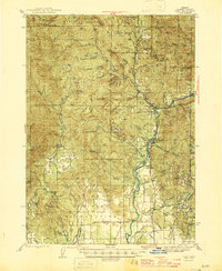
1943 · Trail
USGS Topo · 1:62,500
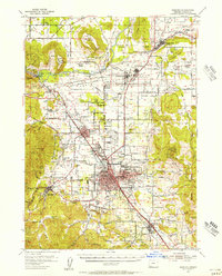
1954 · Medford
USGS Topo · 1:62,500
1954 · Butte Falls
USGS Topo · 1:62,500
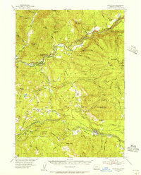
1954 · Lakecreek
USGS Topo · 1:62,500

1955 · Medford
USGS Topo · 1:250,000

1957 · Medford
USGS Topo · 1:250,000