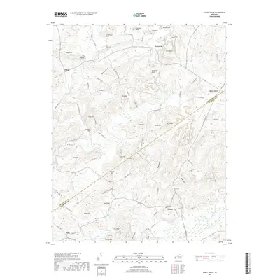
2019 Map of Shady Grove
USGS Topo · Published 2019About this map
Shady Grove and Creswell anchor this West Kentucky landscape, where the border between Crittenden and Caldwell counties follows a series of ridges and hollows. The terrain is defined by a dense network of knobs and bluffs, such as Buzzard Roost Bluff and Piney Bluff, which overlook various tributaries of Donaldson Creek. This survey reveals a deeply established rural community, evidenced by the high concentration of small family and community burial grounds, including Travis Cem, Wilson Cem, and Carney Cem.
Find a feature on this map
112 named features on this map. Tap any name to fly to it.
Don’t see what you’re looking for? This feature index may not catch every label — zoom into the map to look around manually.
Map Details
Editions of this 2019 Shady Grove Map
This is the sole edition of this map. No revisions or reprints were ever made.
Other maps of this area

1908 · Princeton
USGS Topo · 1:62,500

1909 · Providence
USGS Topo · 1:62,500

1910 · Princeton
USGS Topo · 1:62,500

1916 · Fords Ferry
USGS Topo · 1:62,500

1921 · Fords Ferry
USGS Topo · 1:48,000

1925 · Cave In Rock
USGS Topo · 1:62,500

1928 · Eddyville
USGS Topo · 1:48,000

1931 · Eddyville
USGS Topo · 1:62,500

1936 · Eddyville
USGS Topo · 1:48,000

1949 · Paducah
USGS Topo · 1:250,000